Carthage Drive Mall
Fast Facts
Address: Carthage Drive off 1241 St. Paul Street, Rochester, 14621
Coordinates: 43.179150, -77.625289
Area: .11 acres
Streets: St. Paul Street, Driving Park Avenue, Avenue B
Parking: On street
Date of Construction or Design: 1893 (designed)
Landscape Architect(s): Frederick Law Olmsted
Other Names: Carthage Road; original component of the road system in Seneca Park
Amenities: Walking distance to two other Olmsted parks, Seneca Park and Lower Falls Park
Map, looking north
Bird’s eye view of Genesee River, Falls, and Carthage Drive Mall, looking south.
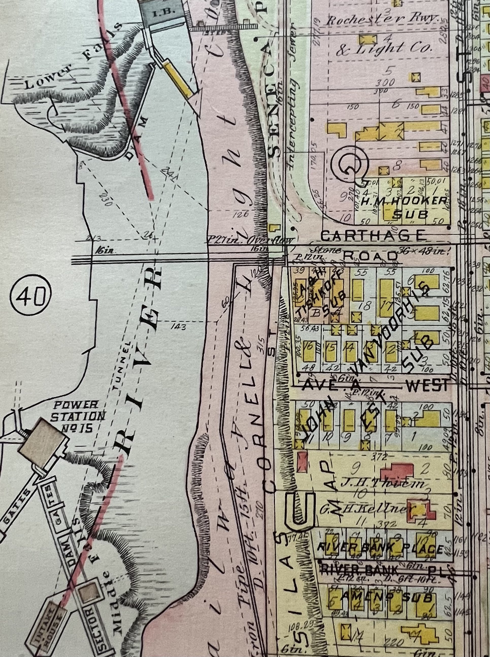
1917 Plat Map showing Carthage Rd. curving into Seneca Park.
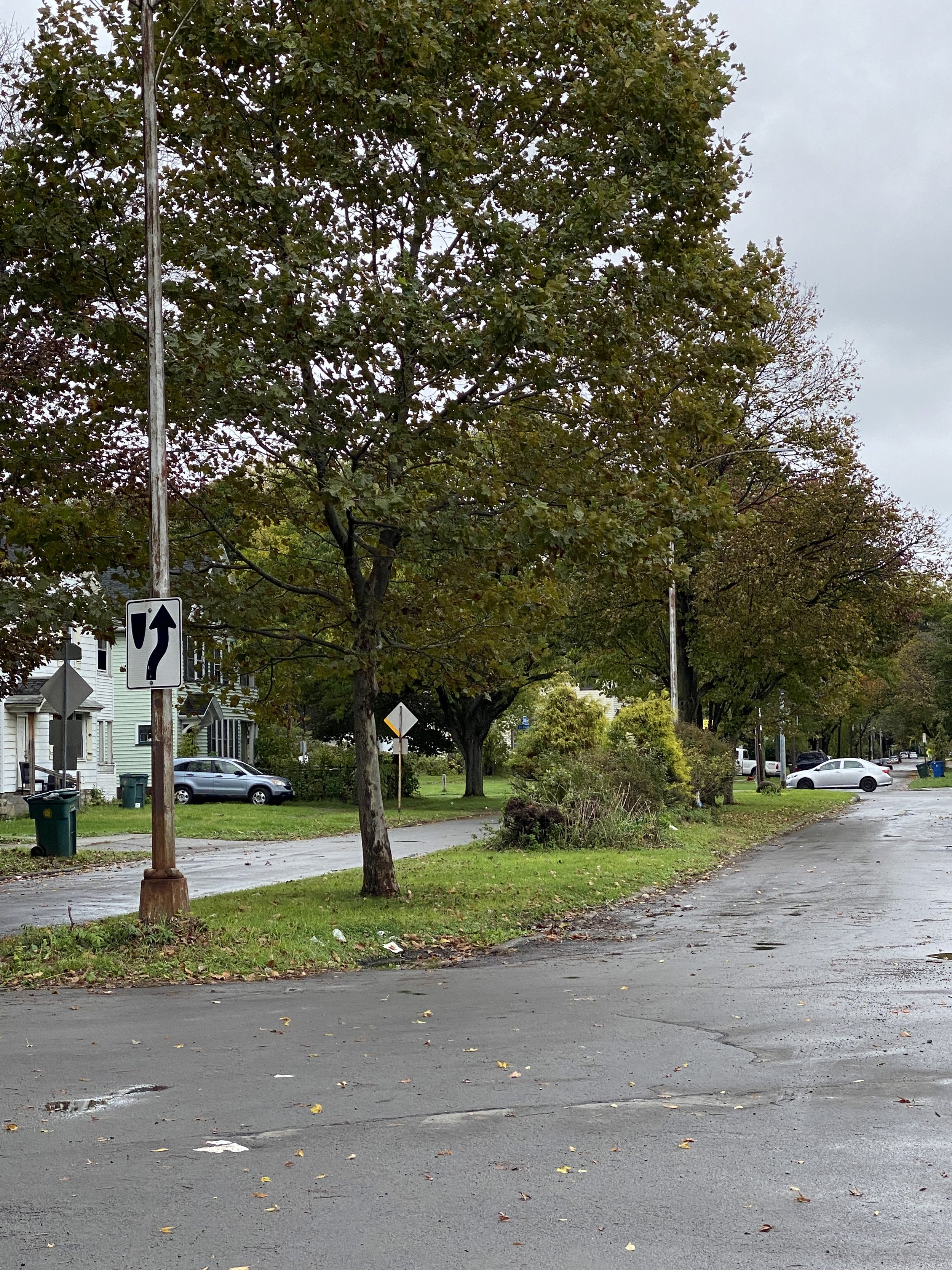
The mall on Carthage Drive at St. Paul Street, originally intended to be an entry to Seneca Park. Designed by Frederick Law Olmsted.

Beginnings
Carthage was an early settlement (earlly 1800s along the east side of the Genesee River) that was intended to rival the Rochester settlement to the south. The settlement was not successful, due to the collapse of the bridge linking the two sides of the river. When a roadway system was laid out leading to and from the Olmsted-designed Seneca Park in 1893 , this parkway was named for that early settlement, and the grassy median in the center was called the Carthage Drive Mall, related in form to the Seneca Parkway Mall across the river.
Things to Know About or Notice
Carthage Rd., as it was called in the 1918 Rochester plat book, connected from St. Paul St. into Seneca Park. As the area became more industrialized, the Park was encroached on by large scale commercial buildings and parking lots. The strip of land that borders the Genesee River gorge was originally the southernmost point of Seneca Park. The sound of the waterfalls continues to be heard, giving a sense of how the small piece of parkland would have been a fitting original gateway to one of Olmsted’s most romantic creations.
Changes
The road, originally designed as one of the landscaped entries to Seneca Park, was truncated to form a T-intersection at Driving Park. As the 1918 map shows, the road led from St. Paul St. and curved around to parallel the river and the gorge, and then went into Seneca Park. While the mall itself, part of Olmsted’s plan, still exists, it is significantly diminished in its impact due to lack of maintenance.